Explore the Blog
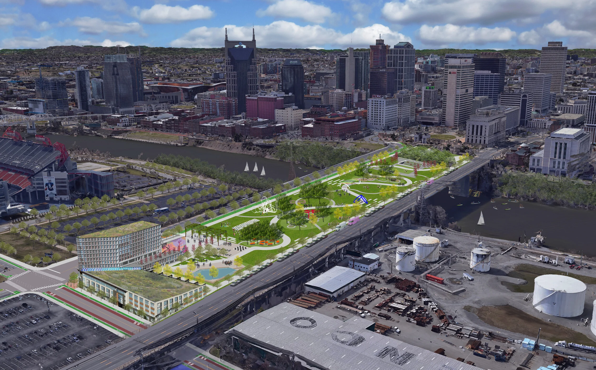
Victory Memorial Bridge Park
With development along the Cumberland Riverfront on the horizon, it is imperative to consider how improvements to connectivity and public space can increase the quality of life in and around downtown Nashville. Throughout Nashville’s history, the Cumberland River has played the role as the epicenter of Nashville’s identity and evolution. It served as a means of transportation and survival in Nashville’s early Native American history, and later European settlements. “It was the river that was the initial lifeline to the rest of the world, connecting Nashville to the Ohio, Tennessee, and Mississippi Rivers—and beyond.” (The Plan of Nashville: Avenues to a Great City). Throughout the early 1800s, the Cumberland continued to act as a key contributor to the economic development of Nashville, connecting the emerging city to major ports like New Orleans by steamboat. By the end of the 19th century, the Cumberland River was at the core of Nashville’s successful industrial economy.

Publication: Reclaiming Public Space In Downtown Nashville: Vol. 2
Publication: Franklin Pike Multi-Modal Path
A study of Franklin Pike exploring the possibility of new bike lanes and enhanced mobility features in Oak Hill.

Change on 51st Ave

Music City Bikeways

Pedestrian Scramble crossing

Publication: A New East Bank Neighborhood in Nashville
University Tennessee Knoxville Design students explore a holistic design plan for envisioning new land uses of the Cumberland River's East Bank
Publication: Envision Nolensville Pike—Community, Creativity and Imagination in Placemaking
The aspirations and dreams for the Nolensville Pike corridor as expressed by residents and business owners during community gatherings
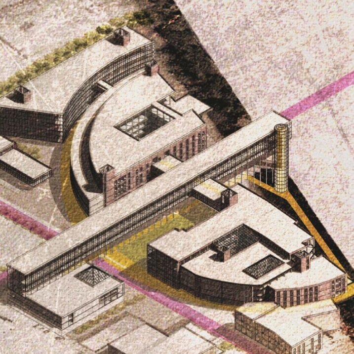
Publication: The Neuhoff Cultural Campus
A look at the UTK College of Architecture 2016 Summer Studio's project focusing on envisioning the Neuhoff Campus in East Germantown.
Publication: Accessing our Streets
Improving the convenience and safety of walking, cycling, and using public transit in a shared road space

Open Streets Nashville

Access and Livability, The Missing Middle—Retrofitting the Centers and Corridors of Nashville
Missing Middle housing types include duplexes, triplexes and fourplexes, bungalows courts, townhouses, live/work, and courtyard apartments. In addition to providing more affordability, these housing types fit into the growing demand for walkable, urban living.

Access and Livability—Neighborhood Infill Strategies, Developing Davidson County
Georgia Tech University and the University of Tennessee students develop conceptual case studies for redevelopment across twelve underperforming suburban sites within Davidson County
Access and Livability: Transit-Oriented Development, The Franklin Corridor
University of Tennessee Knoxville Design students explore Transit-Oriented Development in Nashville neighborhoods to promote accessibility and affordability
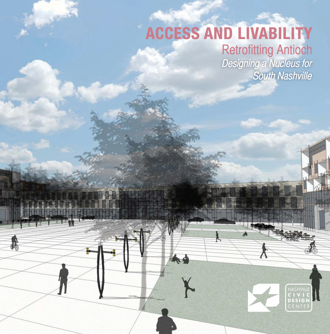
Access and Livability: Retrofitting Antioch, Designing a Nucleus for South Nashville
Re-envisioning the former Hickory Hollow Mall as a location for a mixed-use residential, retail, and transportation center will make Antioch a more coveted place to live.
Helping Weave the Transit-Oriented Development story in Lebanon, TN
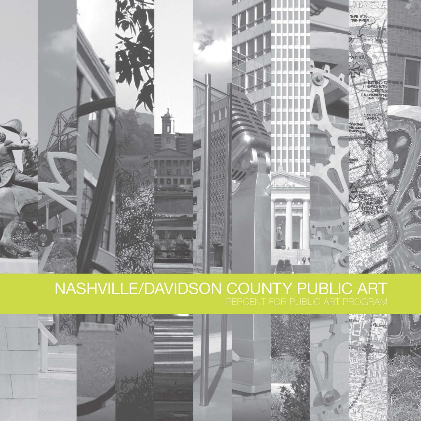
Nashville/Davidson County Public Art—Percent for Public Art Program
Nashville and Davidson County location study and typology recommendations for public art.
Access and Livability—Transit Village Planning and Design, Trinity Lane
Communicating the role of transit-oriented development, evaluating successful transit-ready development precedents and charting Nashville’s progress on implementation

Access and Livability: Re-establishing Urban Fabric: Spaghetti Junction

Publication: Micro Unit Housing
Student investigations analyze cultural, physical and environmental influences on architectural form, space and structure
